
Horton plains
The Horton plains is a plateau located in the central highland of Sri Lanka, close to Nuwaraeliya with a unique eco system 2,150 meters above sea level. Originally known as ‘Maha Eliya Thenna’ meaning ‘Great open plain’ it was renamed during the British occupation after Sir Robert Wilmot-Horton, the British governor of Sri Lanka from 1831 to 1837.
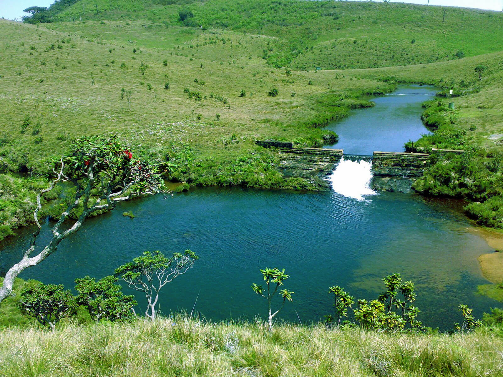
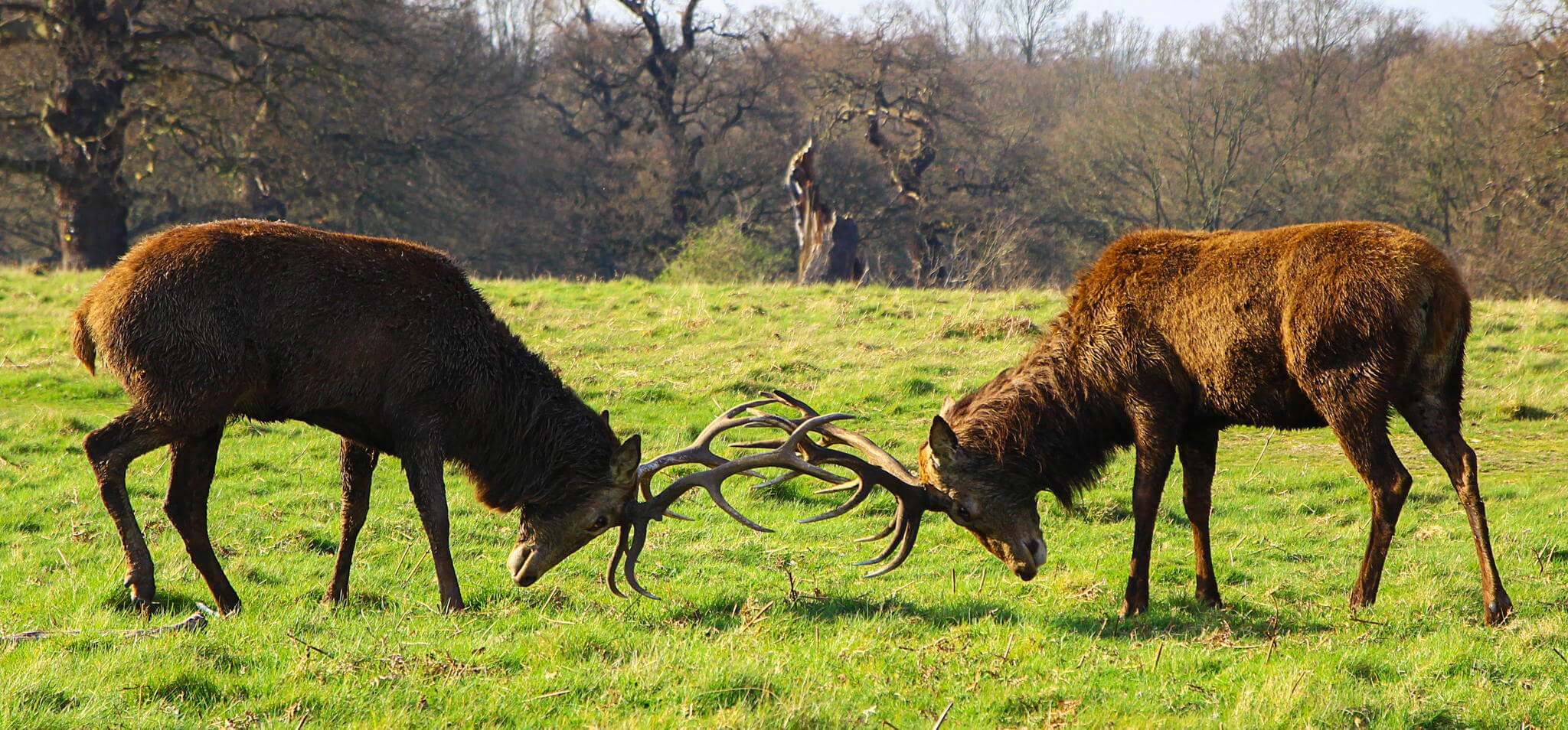
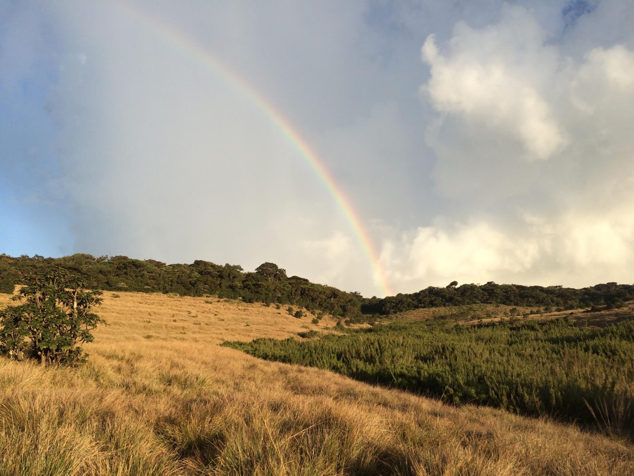
The tranquil grassy woodlands endlessly are swept by crisp, sharp, biting winds and is home to many endemic highland birds, leopards and Sāmbhar. Horton Plains covers a land area of 3,160 hectares and contains the most extensive part of cloud forest in Sri Lanka. The plains are the headwaters of three major Sri Lankan rivers, the Mahaweli, Kelani and Walawe.
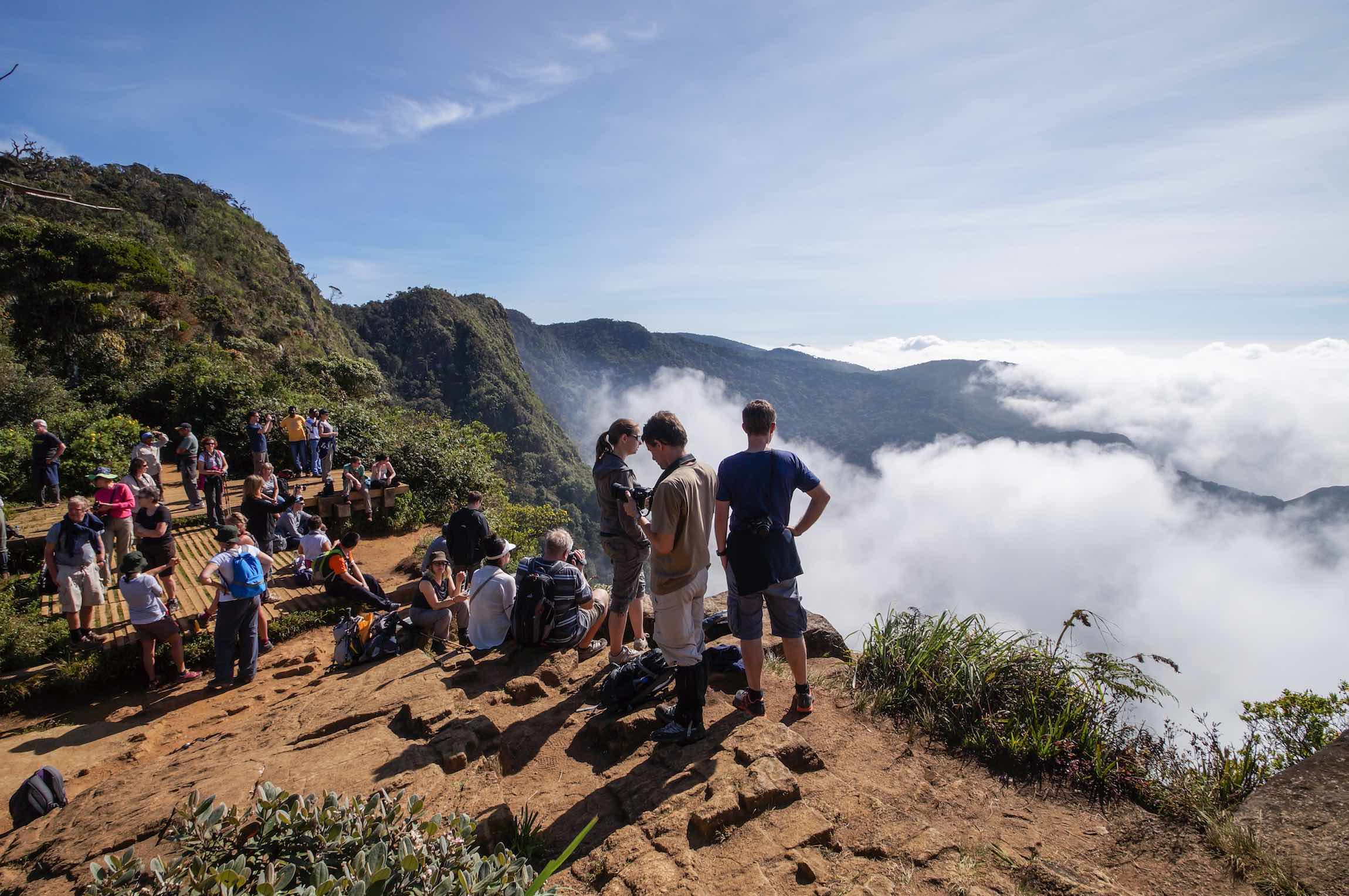
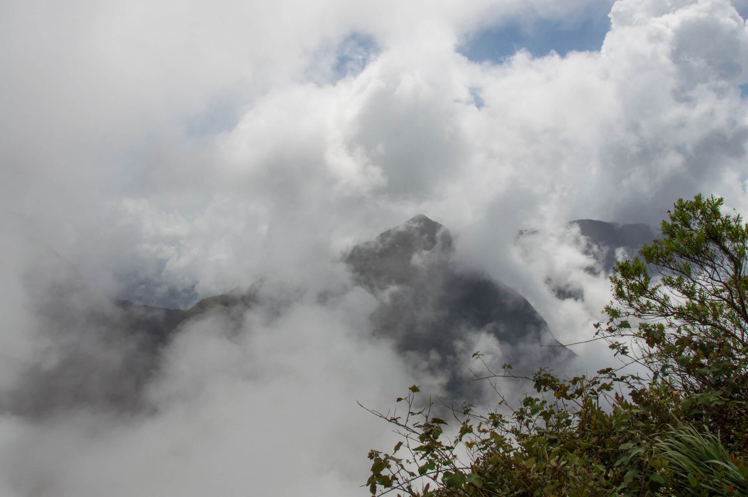
The plateau has a sheer cliff with a drop of amount 1,650 meters called the “World’s End” a fitting description for the frightening abyss below, often covered by a mystic mist. About 1 km away from this main cliff is a smaller cliff with a 300 meter drop, colloquially known as the “Mini World’s End.” On a clear day it e Hortan Plains offer spectacular views that extend up to the distant Indian Ocean. Another popular attraction of the plains is the Baker’s falls a 20 meter high waterfall named after Sir Samuel Baker, a famous British explorer.
Highlights